 vesseltracker.com
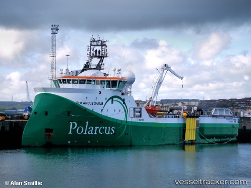
Vessel Barbaros Hayreddin P IMO: 9538103, MMSI: 271043480 Research Vessel
UTC, 42.45667, 31.95500, course: -1, speed: 3
UTC, 42.45333, 32.07167, course: -1, speed: 4
2026-02-27 19:55:14 UTC, 42.45488, 32.40294, course: -1, speed: 4.5
Live AIS position:
UTC. 42 nm NW of Cide),
updated 2026-02-27 19:55:14 UTC.
Find the position of the vessel Barbaros Hayreddin P on the map. The latter are known coordinates and path.
marine traffic ship tracker show on live map
The current position of vessel Barbaros Hayreddin P is 42.45488 lat / 32.40294 lng. Updated: 2026-02-27 19:55:14 UTCCurrently sailing under the flag of Turkey
Barbaros Hayreddin P built in 2011 year
Deadweight:
2250 tDetails:
Last coordinates of the vessel:
UTC, 42.54333, 31.69500, course: -1, speed: 4UTC, 42.45667, 31.95500, course: -1, speed: 3
UTC, 42.45333, 32.07167, course: -1, speed: 4
2026-02-27 19:55:14 UTC, 42.45488, 32.40294, course: -1, speed: 4.5