 vesseltracker.com
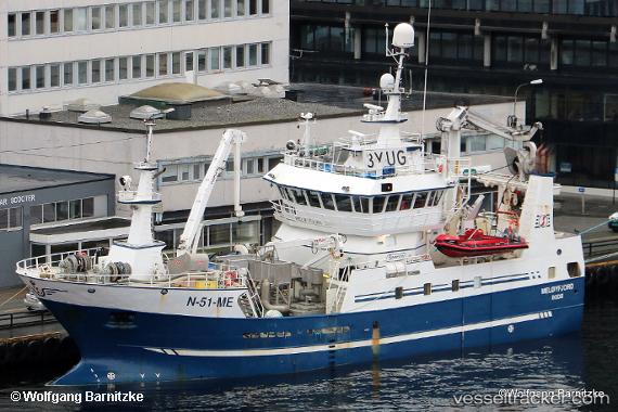
Vessel Meloyfjord IMO: 9539884, MMSI: 259995000 Fishing Vessel
UTC, 69.65046, 16.32207, course: 339, speed: 7.2
UTC, 69.70522, 16.35339, course: 206, speed: 1.7
2026-03-02 08:24:01 UTC, 69.70883, 16.40083, course: 249, speed: 6.9
Live AIS position:
UTC. 24 nm N of ANDENES),
updated 2026-03-02 08:24:01 UTC.
Find the position of the vessel Meloyfjord on the map. The latter are known coordinates and path.
marine traffic ship tracker show on live map
The current position of vessel Meloyfjord is 69.70883 lat / 16.40083 lng. Updated: 2026-03-02 08:24:01 UTCCurrently sailing under the flag of Norway
Meloyfjord built in 2012 year
Details:
Last coordinates of the vessel:
UTC, 69.48317, 15.98146, course: 33, speed: 8.2UTC, 69.65046, 16.32207, course: 339, speed: 7.2
UTC, 69.70522, 16.35339, course: 206, speed: 1.7
2026-03-02 08:24:01 UTC, 69.70883, 16.40083, course: 249, speed: 6.9