 vesseltracker.com
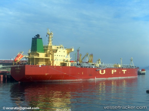
Vessel 413258730 IMO: 9540819, MMSI: 413258730
UTC, 12.75833, 95.33667, course: -1, speed: 12
UTC, 13.17500, 95.18500, course: -1, speed: 13
2026-02-19 14:09:47 UTC, 13.66500, 94.97333, course: -1, speed: 12
Live AIS position:
UTC. 116 nm W of Yetagun Field),
updated 2026-02-19 14:09:47 UTC.
Find the position of the vessel 413258730 on the map. The latter are known coordinates and path.
marine traffic ship tracker show on live map
The current position of vessel 413258730 is 13.66500 lat / 94.97333 lng. Updated: 2026-02-19 14:09:47 UTCDetails:
Last coordinates of the vessel:
UTC, 12.26500, 95.57833, course: -1, speed: 12UTC, 12.75833, 95.33667, course: -1, speed: 12
UTC, 13.17500, 95.18500, course: -1, speed: 13
2026-02-19 14:09:47 UTC, 13.66500, 94.97333, course: -1, speed: 12