 vesseltracker.com
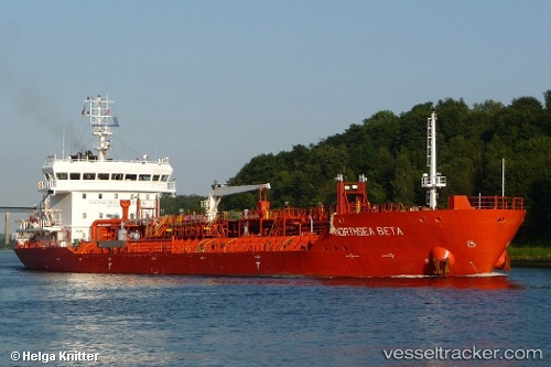
Vessel MARINE MOON IMO: 9547776, MMSI: 352001165 Chemical/Oil Products Tanker
UTC, 2.00705, 151.52003, course: 104, speed: 9.9
UTC, 1.97230, 151.70151, course: 103, speed: 9.8
2026-02-21 12:06:13 UTC, 1.89756, 152.13046, course: 104, speed: 9.7
Live AIS position:
UTC. 238 nm SW of Lukunor Atoll),
updated 2026-02-21 12:06:13 UTC.
Find the position of the vessel MARINE MOON on the map. The latter are known coordinates and path.
marine traffic ship tracker show on live map
The current position of vessel MARINE MOON is 1.89756 lat / 152.13046 lng. Updated: 2026-02-21 12:06:13 UTCCurrently sailing under the flag of Panama
MARINE MOON built in 2010 year
Deadweight:
8647 tDetails:
Last coordinates of the vessel:
UTC, 2.06031, 151.19788, course: 102, speed: 9.8UTC, 2.00705, 151.52003, course: 104, speed: 9.9
UTC, 1.97230, 151.70151, course: 103, speed: 9.8
2026-02-21 12:06:13 UTC, 1.89756, 152.13046, course: 104, speed: 9.7