 vesseltracker.com
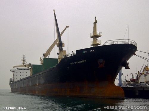
Vessel ELONG ELONG IMO: 9548732, MMSI: 314638000 Bulk Carrier
UTC, 49.31333, -4.13500, course: -1, speed: 11
UTC, 49.49416, -3.64797, course: 60, speed: 11.8
2026-02-10 10:23:55 UTC, 49.75310, -2.96921, course: 64, speed: 13.6
Live AIS position:
UTC. 24 nm NW of Saint Sampson),
updated 2026-02-10 10:23:55 UTC.
Find the position of the vessel ELONG ELONG on the map. The latter are known coordinates and path.
marine traffic ship tracker show on live map
The current position of vessel ELONG ELONG is 49.75310 lat / -2.96921 lng. Updated: 2026-02-10 10:23:55 UTCCurrently sailing under the flag of Barbados
ELONG ELONG built in 2009 year
Deadweight:
21461 tDetails:
Last coordinates of the vessel:
UTC, 49.11652, -4.67250, course: 60, speed: 11.8UTC, 49.31333, -4.13500, course: -1, speed: 11
UTC, 49.49416, -3.64797, course: 60, speed: 11.8
2026-02-10 10:23:55 UTC, 49.75310, -2.96921, course: 64, speed: 13.6