 vesseltracker.com
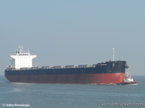
Vessel ALLIANCE IMO: 9552824, MMSI: 215793000 Bulk Carrier
UTC, -33.7633, 27.785, course: -1, speed: 12
UTC, -33.8551, 27.6234, course: 240, speed: 10.9
2026-03-01 06:01:28 UTC, -34.0633, 27.2333, course: -1, speed: 7
Live AIS position:
UTC. 38 nm SE of Kenton-on-Sea),
updated 2026-03-01 06:01:28 UTC.
Find the position of the vessel ALLIANCE on the map. The latter are known coordinates and path.
marine traffic ship tracker show on live map
The current position of vessel ALLIANCE is -34.0633 lat / 27.2333 lng. Updated: 2026-03-01 06:01:28 UTCCurrently sailing under the flag of Malta
ALLIANCE built in 2010 year
Deadweight:
83369 tDetails:
Last coordinates of the vessel:
UTC, -33.4037, 28.4199, course: 238, speed: 12.6UTC, -33.7633, 27.785, course: -1, speed: 12
UTC, -33.8551, 27.6234, course: 240, speed: 10.9
2026-03-01 06:01:28 UTC, -34.0633, 27.2333, course: -1, speed: 7