 vesseltracker.com
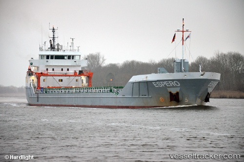
Vessel Longrun IMO: 9556313, MMSI: 244790509 General Cargo Ship
UTC, 25.47916, -59.50526, course: 260, speed: 9
UTC, 25.37167, -59.95500, course: -1, speed: 9
2026-02-21 21:52:29 UTC, 25.29667, -60.24167, course: -1, speed: 9
Live AIS position:
UTC. 142 nm W of Villa Elisa),
updated 2026-02-21 21:52:29 UTC.
Find the position of the vessel Longrun on the map. The latter are known coordinates and path.
marine traffic ship tracker show on live map
The current position of vessel Longrun is 25.29667 lat / -60.24167 lng. Updated: 2026-02-21 21:52:29 UTCCurrently sailing under the flag of Netherlands
Longrun built in 2013 year
Deadweight:
5500 tDetails:
Last coordinates of the vessel:
UTC, 25.51667, -59.35333, course: -1, speed: 9UTC, 25.47916, -59.50526, course: 260, speed: 9
UTC, 25.37167, -59.95500, course: -1, speed: 9
2026-02-21 21:52:29 UTC, 25.29667, -60.24167, course: -1, speed: 9