 vesseltracker.com
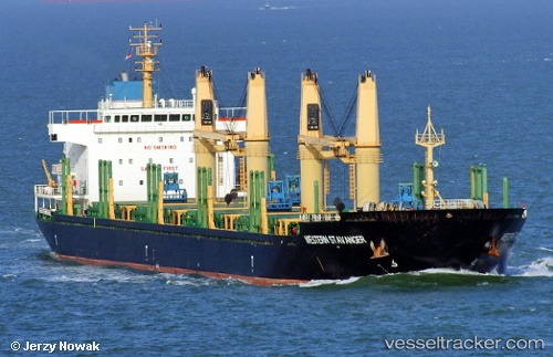
Vessel AVRA 1 IMO: 9559688, MMSI: 538012110 Bulk Carrier
UTC, -8.66721, 13.30529, course: 133, speed: 0.1
UTC, -8.66906, 13.30515, course: 70, speed: 0.1
2026-02-24 09:39:32 UTC, -8.66896, 13.30510, course: 73, speed: 0
Live AIS position:
UTC. Near Luanda),
updated 2026-02-24 09:39:32 UTC.
Find the position of the vessel AVRA 1 on the map. The latter are known coordinates and path.
marine traffic ship tracker show on live map
The current position of vessel AVRA 1 is -8.66896 lat / 13.30510 lng. Updated: 2026-02-24 09:39:32 UTCCurrently sailing under the flag of Marshall Islands
Details:
Last coordinates of the vessel:
UTC, -8.66689, 13.30569, course: 145, speed: 0.2UTC, -8.66721, 13.30529, course: 133, speed: 0.1
UTC, -8.66906, 13.30515, course: 70, speed: 0.1
2026-02-24 09:39:32 UTC, -8.66896, 13.30510, course: 73, speed: 0