 vesseltracker.com
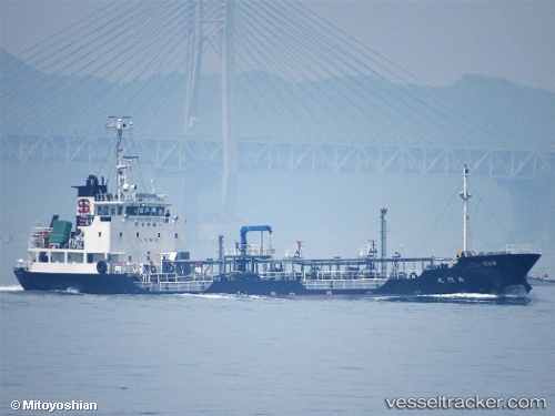
Vessel Nagato Maru IMO: 9560546, MMSI: 431000963 Oil Products Tanker
UTC, 33.27470, 131.63808, course: 32, speed: 10.6
UTC, 33.57989, 131.78230, course: 328, speed: 10.2
2026-02-10 09:24:46 UTC, 33.75905, 131.50201, course: 294, speed: 10.9
Live AIS position:
UTC. 13 nm N of Bungotakada),
updated 2026-02-10 09:24:46 UTC.
Find the position of the vessel Nagato Maru on the map. The latter are known coordinates and path.
marine traffic ship tracker show on live map
The current position of vessel Nagato Maru is 33.75905 lat / 131.50201 lng. Updated: 2026-02-10 09:24:46 UTCCurrently sailing under the flag of Japan
Details:
Last coordinates of the vessel:
UTC, 33.26731, 131.63309, course: 252, speed: 0UTC, 33.27470, 131.63808, course: 32, speed: 10.6
UTC, 33.57989, 131.78230, course: 328, speed: 10.2
2026-02-10 09:24:46 UTC, 33.75905, 131.50201, course: 294, speed: 10.9