 vesseltracker.com
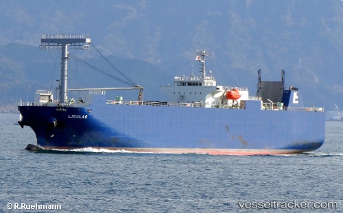
Vessel Ligulao IMO: 9561605, MMSI: 351609000 Vehicles Carrier
UTC, 13.13167, 113.79500, course: -1, speed: 12
UTC, 12.75118, 113.57604, course: 208, speed: 12.6
2026-01-25 17:50:47 UTC, 12.30333, 113.31500, course: -1, speed: 13
Live AIS position:
UTC. 222 nm SE of Tan Cang Qui Nhon),
updated 2026-01-25 17:50:47 UTC.
Find the position of the vessel Ligulao on the map. The latter are known coordinates and path.
marine traffic ship tracker show on live map
The current position of vessel Ligulao is 12.30333 lat / 113.31500 lng. Updated: 2026-01-25 17:50:47 UTCCurrently sailing under the flag of Panama
Ligulao built in 2010 year
Deadweight:
5296 tDetails:
Last coordinates of the vessel:
UTC, 13.33500, 113.91500, course: -1, speed: 12UTC, 13.13167, 113.79500, course: -1, speed: 12
UTC, 12.75118, 113.57604, course: 208, speed: 12.6
2026-01-25 17:50:47 UTC, 12.30333, 113.31500, course: -1, speed: 13