 vesseltracker.com
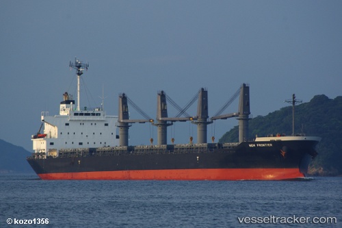
Vessel MARIA 1921 IMO: 9561796, MMSI: 636020837 Bulk Carrier
UTC, 52.42486, 4.74460, course: 348, speed: 0
UTC, 52.42486, 4.74458, course: 348, speed: 0
2026-02-25 11:59:39 UTC, 52.42487, 4.74460, course: 348, speed: 0
Live AIS position:
UTC. Near NAUERNA),
updated 2026-02-25 11:59:39 UTC.
Find the position of the vessel MARIA 1921 on the map. The latter are known coordinates and path.
marine traffic ship tracker show on live map
The current position of vessel MARIA 1921 is 52.42487 lat / 4.74460 lng. Updated: 2026-02-25 11:59:39 UTCCurrently sailing under the flag of Liberia
MARIA 1921 built in 2011 year
Deadweight:
35013 tDetails:
Last coordinates of the vessel:
UTC, 52.42488, 4.74459, course: 348, speed: 0UTC, 52.42486, 4.74460, course: 348, speed: 0
UTC, 52.42486, 4.74458, course: 348, speed: 0
2026-02-25 11:59:39 UTC, 52.42487, 4.74460, course: 348, speed: 0