 vesseltracker.com
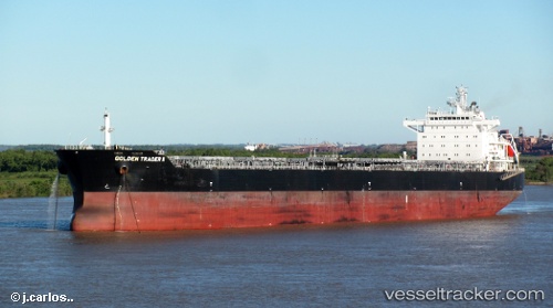
Vessel Irene Madias IMO: 9567154, MMSI: 636018921 Bulk Carrier
UTC, 21.08167, 62.55167, course: -1, speed: 11
UTC, 20.84298, 62.82629, course: 132, speed: 11.3
2026-03-01 06:01:13 UTC, 20.50167, 63.22167, course: -1, speed: 11
Live AIS position:
UTC. 241 nm SE of SUR),
updated 2026-03-01 06:01:13 UTC.
Find the position of the vessel Irene Madias on the map. The latter are known coordinates and path.
marine traffic ship tracker show on live map
The current position of vessel Irene Madias is 20.50167 lat / 63.22167 lng. Updated: 2026-03-01 06:01:13 UTCCurrently sailing under the flag of Liberia
Irene Madias built in 2012 year
Deadweight:
79516 tDetails:
Last coordinates of the vessel:
UTC, 21.28667, 62.31667, course: -1, speed: 11UTC, 21.08167, 62.55167, course: -1, speed: 11
UTC, 20.84298, 62.82629, course: 132, speed: 11.3
2026-03-01 06:01:13 UTC, 20.50167, 63.22167, course: -1, speed: 11