 vesseltracker.com
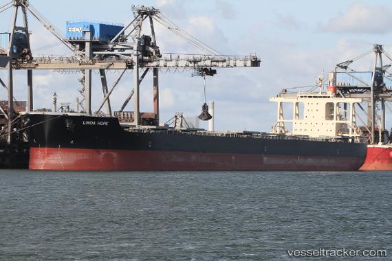
Vessel Linda Hope IMO: 9567984, MMSI: 351017000 Bulk Carrier
UTC, -21.49768, 79.15201, course: 64, speed: 9.3
UTC, -21.40115, 79.35542, course: 65, speed: 9.4
2026-02-14 19:32:01 UTC, -21.24716, 79.65985, course: 63, speed: 9.1
Live AIS position:
UTC. Open sea (no nearby ports in database)),
updated 2026-02-14 19:32:01 UTC.
Find the position of the vessel Linda Hope on the map. The latter are known coordinates and path.
marine traffic ship tracker show on live map
The current position of vessel Linda Hope is -21.24716 lat / 79.65985 lng. Updated: 2026-02-14 19:32:01 UTCDetails:
Last coordinates of the vessel:
UTC, -21.63373, 78.88335, course: 62, speed: 9.4UTC, -21.49768, 79.15201, course: 64, speed: 9.3
UTC, -21.40115, 79.35542, course: 65, speed: 9.4
2026-02-14 19:32:01 UTC, -21.24716, 79.65985, course: 63, speed: 9.1