 vesseltracker.com
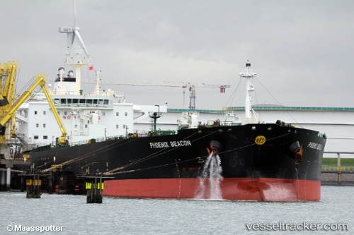
Vessel P. MONTEREY IMO: 9568172, MMSI: 255915771 Crude Oil Tanker
UTC, 24.96500, -89.73333, course: -1, speed: 12
UTC, 24.88500, -89.38333, course: -1, speed: 12
2026-02-13 23:43:05 UTC, 24.78833, -89.00167, course: -1, speed: 12
Live AIS position:
UTC. 112 nm NE of Munshiganj),
updated 2026-02-13 23:43:05 UTC.
Find the position of the vessel P. MONTEREY on the map. The latter are known coordinates and path.
marine traffic ship tracker show on live map
The current position of vessel P. MONTEREY is 24.78833 lat / -89.00167 lng. Updated: 2026-02-13 23:43:05 UTCCurrently sailing under the flag of Madeira
P. MONTEREY built in 2011 year
Deadweight:
105525 tDetails:
Last coordinates of the vessel:
UTC, 25.10399, -90.26004, course: 99, speed: 12.2UTC, 24.96500, -89.73333, course: -1, speed: 12
UTC, 24.88500, -89.38333, course: -1, speed: 12
2026-02-13 23:43:05 UTC, 24.78833, -89.00167, course: -1, speed: 12