 vesseltracker.com
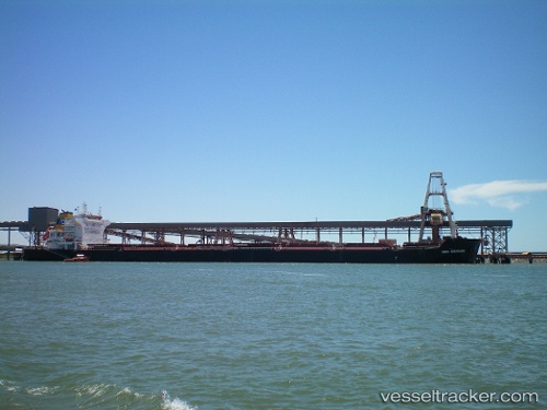
Vessel Mba Giovanni IMO: 9568598, MMSI: 247287100 Bulk Carrier
UTC, 4.11500, 99.51500, course: -1, speed: 11
UTC, 3.79198, 99.85967, course: 131, speed: 11.4
2026-02-25 11:24:20 UTC, 3.65333, 100.00333, course: -1, speed: 11
Live AIS position:
UTC. 19 nm S of Pulau Jarak),
updated 2026-02-25 11:24:20 UTC.
Find the position of the vessel Mba Giovanni on the map. The latter are known coordinates and path.
marine traffic ship tracker show on live map
The current position of vessel Mba Giovanni is 3.65333 lat / 100.00333 lng. Updated: 2026-02-25 11:24:20 UTCDetails:
Last coordinates of the vessel:
UTC, 4.40333, 99.24667, course: -1, speed: 11UTC, 4.11500, 99.51500, course: -1, speed: 11
UTC, 3.79198, 99.85967, course: 131, speed: 11.4
2026-02-25 11:24:20 UTC, 3.65333, 100.00333, course: -1, speed: 11