 vesseltracker.com
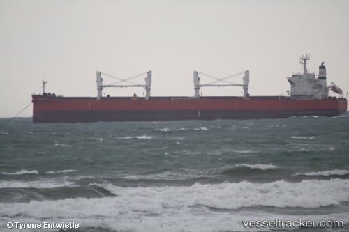
Vessel Almar IMO: 9572070, MMSI: 538004314 Bulk Carrier
UTC, 46.85798, -127.08581, course: 266, speed: 10.6
UTC, 46.85500, -127.53333, course: -1, speed: 10
2026-02-25 17:25:46 UTC, 46.85167, -127.86833, course: -1, speed: 10
Live AIS position:
UTC. 153 nm W of Ocean Shores),
updated 2026-02-25 17:25:46 UTC.
Find the position of the vessel Almar on the map. The latter are known coordinates and path.
marine traffic ship tracker show on live map
The current position of vessel Almar is 46.85167 lat / -127.86833 lng. Updated: 2026-02-25 17:25:46 UTCDetails:
Last coordinates of the vessel:
UTC, 46.87714, -126.40400, course: 266, speed: 11.1UTC, 46.85798, -127.08581, course: 266, speed: 10.6
UTC, 46.85500, -127.53333, course: -1, speed: 10
2026-02-25 17:25:46 UTC, 46.85167, -127.86833, course: -1, speed: 10