 vesseltracker.com
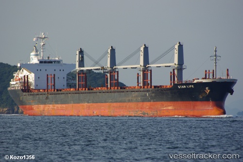
Vessel DELLA IMO: 9573828, MMSI: 636020948 Bulk Carrier
UTC, 38.60781, 118.75588, course: 115, speed: 10.9
UTC, 38.49641, 119.12752, course: 105, speed: 10.5
2026-02-21 15:43:26 UTC, 38.45910, 119.44952, course: 88, speed: 9.4
Live AIS position:
UTC. 32 nm NE of DONGYING),
updated 2026-02-21 15:43:26 UTC.
Find the position of the vessel DELLA on the map. The latter are known coordinates and path.
marine traffic ship tracker show on live map
The current position of vessel DELLA is 38.45910 lat / 119.44952 lng. Updated: 2026-02-21 15:43:26 UTCCurrently sailing under the flag of Liberia
DELLA built in 2011 year
Deadweight:
28210 tDetails:
Last coordinates of the vessel:
UTC, 38.82639, 118.26198, course: 122, speed: 9.5UTC, 38.60781, 118.75588, course: 115, speed: 10.9
UTC, 38.49641, 119.12752, course: 105, speed: 10.5
2026-02-21 15:43:26 UTC, 38.45910, 119.44952, course: 88, speed: 9.4