 vesseltracker.com
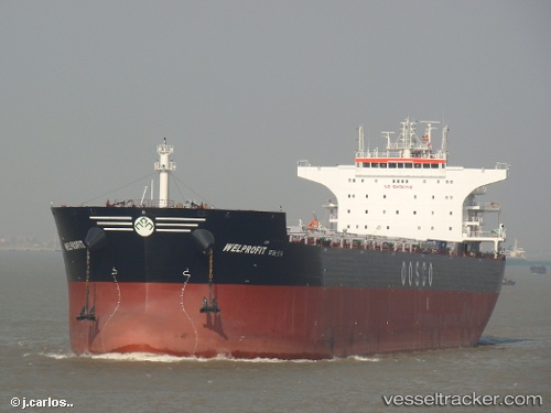
Vessel Welprofit IMO: 9574456, MMSI: 636018162 Bulk Carrier
UTC, 5.10941, 119.62691, course: 184, speed: 12.8
UTC, 4.65403, 119.62692, course: 179, speed: 11.7
2026-02-21 12:19:07 UTC, 4.11546, 119.58697, course: 184, speed: 11.6
Live AIS position:
UTC. 61 nm E of Labuan Haji),
updated 2026-02-21 12:19:07 UTC.
Find the position of the vessel Welprofit on the map. The latter are known coordinates and path.
marine traffic ship tracker show on live map
The current position of vessel Welprofit is 4.11546 lat / 119.58697 lng. Updated: 2026-02-21 12:19:07 UTCCurrently sailing under the flag of Liberia
Welprofit built in 2011 year
Deadweight:
93250 tDetails:
Last coordinates of the vessel:
UTC, 5.36769, 119.69471, course: 195, speed: 10.6UTC, 5.10941, 119.62691, course: 184, speed: 12.8
UTC, 4.65403, 119.62692, course: 179, speed: 11.7
2026-02-21 12:19:07 UTC, 4.11546, 119.58697, course: 184, speed: 11.6