 vesseltracker.com
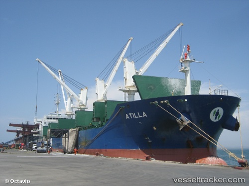
Vessel MARIA ATH IMO: 9579339, MMSI: 538011935 Bulk Carrier
UTC, 40.82894, 3.15586, course: 244, speed: 10.6
UTC, 40.62667, 2.67167, course: -1, speed: 10
2026-02-25 07:39:23 UTC, 40.51667, 2.37167, course: -1, speed: 10
Live AIS position:
UTC. Near Sindhos),
updated 2026-02-25 07:39:23 UTC.
Find the position of the vessel MARIA ATH on the map. The latter are known coordinates and path.
marine traffic ship tracker show on live map
The current position of vessel MARIA ATH is 40.51667 lat / 2.37167 lng. Updated: 2026-02-25 07:39:23 UTCCurrently sailing under the flag of Marshall Islands
Details:
Last coordinates of the vessel:
UTC, 41.00845, 3.62148, course: 242, speed: 10.7UTC, 40.82894, 3.15586, course: 244, speed: 10.6
UTC, 40.62667, 2.67167, course: -1, speed: 10
2026-02-25 07:39:23 UTC, 40.51667, 2.37167, course: -1, speed: 10