 vesseltracker.com
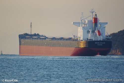
Vessel 636020935 IMO: 9580209, MMSI: 636020935
UTC, 35.00370, 136.83363, course: 95, speed: 3.6
UTC, 35.00359, 136.84627, course: 100, speed: 0.1
2026-02-03 23:29:02 UTC, 35.00359, 136.84634, course: 100, speed: 0
Live AIS position:
UTC. Near Agui Aichi),
updated 2026-02-03 23:29:02 UTC.
Find the position of the vessel 636020935 on the map. The latter are known coordinates and path.
marine traffic ship tracker show on live map
The current position of vessel 636020935 is 35.00359 lat / 136.84634 lng. Updated: 2026-02-03 23:29:02 UTCDetails:
Last coordinates of the vessel:
UTC, 34.87800, 136.73970, course: 59, speed: 0.1UTC, 35.00370, 136.83363, course: 95, speed: 3.6
UTC, 35.00359, 136.84627, course: 100, speed: 0.1
2026-02-03 23:29:02 UTC, 35.00359, 136.84634, course: 100, speed: 0