 vesseltracker.com
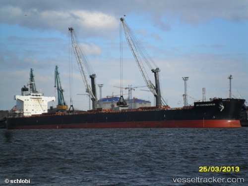
Vessel CARAVOS EXPLORER II IMO: 9583184, MMSI: 538011500 Bulk Carrier
UTC, 18.25222, 88.78600, course: 309, speed: 10.1
UTC, 18.51333, 88.49500, course: -1, speed: 10
2026-02-28 07:39:09 UTC, 18.75833, 88.25667, course: -1, speed: 9
Live AIS position:
UTC. 126 nm SE of Paradip),
updated 2026-02-28 07:39:09 UTC.
Find the position of the vessel CARAVOS EXPLORER II on the map. The latter are known coordinates and path.
marine traffic ship tracker show on live map
The current position of vessel CARAVOS EXPLORER II is 18.75833 lat / 88.25667 lng. Updated: 2026-02-28 07:39:09 UTCCurrently sailing under the flag of Marshall Islands
Details:
Last coordinates of the vessel:
UTC, 17.99333, 89.02167, course: -1, speed: 9UTC, 18.25222, 88.78600, course: 309, speed: 10.1
UTC, 18.51333, 88.49500, course: -1, speed: 10
2026-02-28 07:39:09 UTC, 18.75833, 88.25667, course: -1, speed: 9