 vesseltracker.com
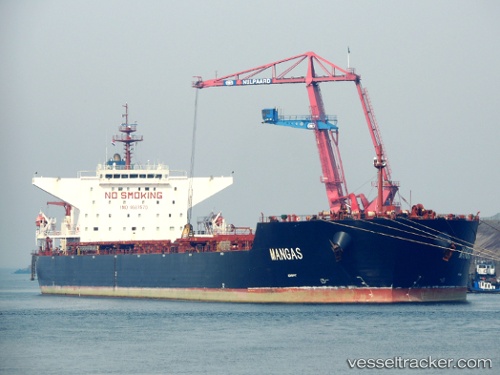
Vessel MANGAS IMO: 9587570, MMSI: 352898747 Bulk Carrier
UTC, -22.14615, 7.96637, course: 324, speed: 13.1
UTC, -21.78130, 7.67394, course: 324, speed: 12.7
2026-02-24 14:02:59 UTC, -21.36404, 7.35091, course: 323, speed: 12.8
Live AIS position:
UTC. 379 nm SW of Baía dos Tigres),
updated 2026-02-24 14:02:59 UTC.
Find the position of the vessel MANGAS on the map. The latter are known coordinates and path.
marine traffic ship tracker show on live map
The current position of vessel MANGAS is -21.36404 lat / 7.35091 lng. Updated: 2026-02-24 14:02:59 UTCCurrently sailing under the flag of Panama
MANGAS built in 2011 year
Deadweight:
173918 tDetails:
Last coordinates of the vessel:
UTC, -22.32922, 8.11352, course: 324, speed: 13.3UTC, -22.14615, 7.96637, course: 324, speed: 13.1
UTC, -21.78130, 7.67394, course: 324, speed: 12.7
2026-02-24 14:02:59 UTC, -21.36404, 7.35091, course: 323, speed: 12.8