 vesseltracker.com
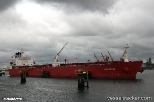
Vessel Nave Cetus IMO: 9589944, MMSI: 636015834 Crude Oil Tanker
UTC, 22.55761, -97.50826, course: 75, speed: 1.2
UTC, 22.46118, -97.60664, course: 331, speed: 1.3
2026-02-15 19:28:27 UTC, 22.31383, -97.60116, course: 191, speed: 13.3
Live AIS position:
UTC. 13 nm E of Ciudad Madero),
updated 2026-02-15 19:28:27 UTC.
Find the position of the vessel Nave Cetus on the map. The latter are known coordinates and path.
marine traffic ship tracker show on live map
The current position of vessel Nave Cetus is 22.31383 lat / -97.60116 lng. Updated: 2026-02-15 19:28:27 UTCDetails:
Last coordinates of the vessel:
UTC, 22.55093, -97.53643, course: 29, speed: 6.4UTC, 22.55761, -97.50826, course: 75, speed: 1.2
UTC, 22.46118, -97.60664, course: 331, speed: 1.3
2026-02-15 19:28:27 UTC, 22.31383, -97.60116, course: 191, speed: 13.3