 vesseltracker.com
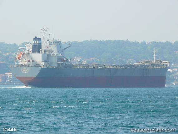
Vessel Stahla IMO: 9592018, MMSI: 209755000 Bulk Carrier
UTC, 16.51369, -81.24791, course: 336, speed: 13.4
UTC, 16.81061, -81.45369, course: 322, speed: 12.6
2026-02-27 06:13:12 UTC, 17.20287, -81.79508, course: 324, speed: 13.4
Live AIS position:
UTC. 124 nm E of Swan Island),
updated 2026-02-27 06:13:12 UTC.
Find the position of the vessel Stahla on the map. The latter are known coordinates and path.
marine traffic ship tracker show on live map
The current position of vessel Stahla is 17.20287 lat / -81.79508 lng. Updated: 2026-02-27 06:13:12 UTCDetails:
Last coordinates of the vessel:
UTC, 16.00837, -81.06052, course: 357, speed: 13.9UTC, 16.51369, -81.24791, course: 336, speed: 13.4
UTC, 16.81061, -81.45369, course: 322, speed: 12.6
2026-02-27 06:13:12 UTC, 17.20287, -81.79508, course: 324, speed: 13.4