 vesseltracker.com
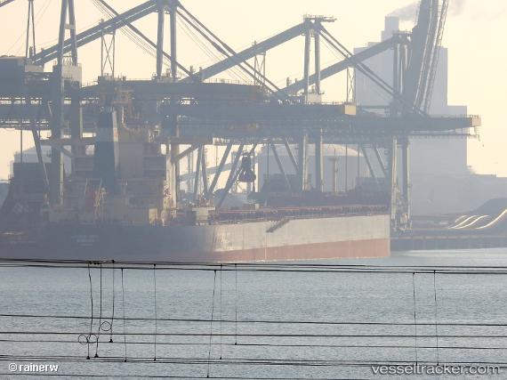
Vessel Aquaexplorer IMO: 9592800, MMSI: 636017868 Bulk Carrier
UTC, -26.34122, -37.13757, course: 112, speed: 9.4
UTC, -26.49720, -36.75366, course: 114, speed: 9.4
2026-02-26 23:33:49 UTC, -26.56459, -36.58186, course: 110, speed: 9.3
Live AIS position:
UTC. 283 nm S of Bela Vista),
updated 2026-02-26 23:33:49 UTC.
Find the position of the vessel Aquaexplorer on the map. The latter are known coordinates and path.
marine traffic ship tracker show on live map
The current position of vessel Aquaexplorer is -26.56459 lat / -36.58186 lng. Updated: 2026-02-26 23:33:49 UTCDetails:
Last coordinates of the vessel:
UTC, -26.18614, -37.51386, course: 111, speed: 9.4UTC, -26.34122, -37.13757, course: 112, speed: 9.4
UTC, -26.49720, -36.75366, course: 114, speed: 9.4
2026-02-26 23:33:49 UTC, -26.56459, -36.58186, course: 110, speed: 9.3