 vesseltracker.com
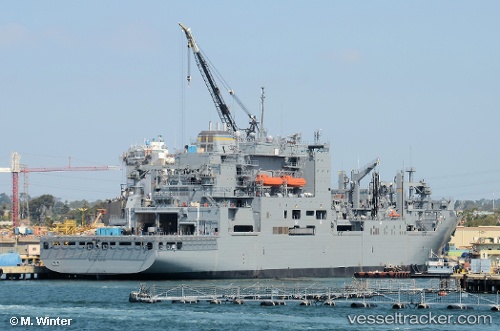
Vessel Us Gov Vessel IMO: 9593127, MMSI: 369989000 General Cargo Ship
UTC, 35.50928, 129.39462, course: 16, speed: 2.2
UTC, 35.50928, 129.39462, course: 16, speed: 2.2
2026-01-18 23:11:06 UTC, 35.50928, 129.39462, course: 16, speed: 2.2
Live AIS position:
UTC. Near Mipo/Ulsan),
updated 2026-01-18 23:11:06 UTC.
Find the position of the vessel Us Gov Vessel on the map. The latter are known coordinates and path.
marine traffic ship tracker show on live map
The current position of vessel Us Gov Vessel is 35.50928 lat / 129.39462 lng. Updated: 2026-01-18 23:11:06 UTCDetails:
Last coordinates of the vessel:
UTC, 35.50928, 129.39462, course: 16, speed: 2.2UTC, 35.50928, 129.39462, course: 16, speed: 2.2
UTC, 35.50928, 129.39462, course: 16, speed: 2.2
2026-01-18 23:11:06 UTC, 35.50928, 129.39462, course: 16, speed: 2.2