 vesseltracker.com
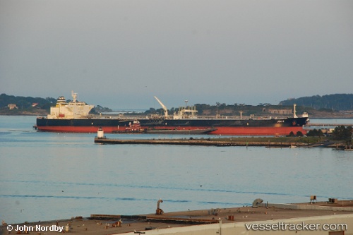
Vessel Leni P IMO: 9594133, MMSI: 538008334 Crude Oil Tanker
UTC, 23.78594, 37.66289, course: 20, speed: 0.1
UTC, 23.78568, 37.66705, course: 21, speed: 0.1
2026-02-20 07:55:02 UTC, 23.79302, 37.66316, course: 15, speed: 0.4
Live AIS position:
UTC. 26 nm SW of Yanbu),
updated 2026-02-20 07:55:02 UTC.
Find the position of the vessel Leni P on the map. The latter are known coordinates and path.
marine traffic ship tracker show on live map
The current position of vessel Leni P is 23.79302 lat / 37.66316 lng. Updated: 2026-02-20 07:55:02 UTCCurrently sailing under the flag of Marshall Is
Leni P built in 2011 year
Deadweight:
158640 tDetails:
Last coordinates of the vessel:
UTC, 23.79158, 37.65199, course: 28, speed: 0.8UTC, 23.78594, 37.66289, course: 20, speed: 0.1
UTC, 23.78568, 37.66705, course: 21, speed: 0.1
2026-02-20 07:55:02 UTC, 23.79302, 37.66316, course: 15, speed: 0.4