 vesseltracker.com
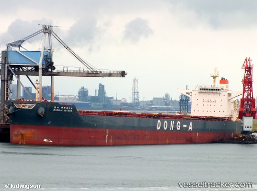
Vessel PARTNERSHIP IMO: 9597848, MMSI: 538007497 Bulk Carrier
UTC, 8.35307, 120.45614, course: 14, speed: 9.9
UTC, 8.61509, 120.48081, course: 7, speed: 9.4
2026-01-29 20:02:10 UTC, 9.15256, 120.49845, course: 5, speed: 9.8
Live AIS position:
UTC. 111 nm E of Puerto Princesa),
updated 2026-01-29 20:02:10 UTC.
Find the position of the vessel PARTNERSHIP on the map. The latter are known coordinates and path.
marine traffic ship tracker show on live map
The current position of vessel PARTNERSHIP is 9.15256 lat / 120.49845 lng. Updated: 2026-01-29 20:02:10 UTCCurrently sailing under the flag of Marshall Islands
PARTNERSHIP built in 2012 year
Deadweight:
179213 tDetails:
Last coordinates of the vessel:
UTC, 8.18074, 120.41914, course: 18, speed: 9.8UTC, 8.35307, 120.45614, course: 14, speed: 9.9
UTC, 8.61509, 120.48081, course: 7, speed: 9.4
2026-01-29 20:02:10 UTC, 9.15256, 120.49845, course: 5, speed: 9.8