 vesseltracker.com
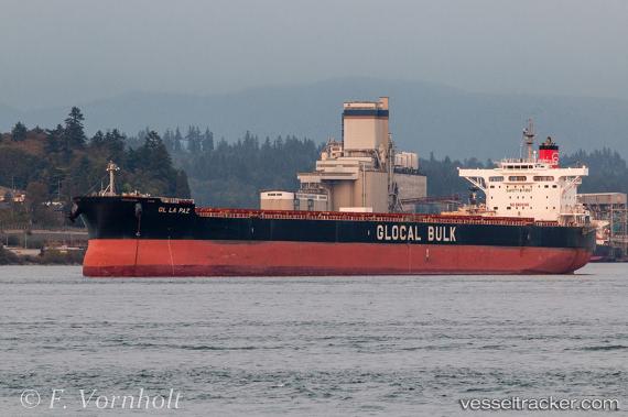
Vessel Gl La Paz IMO: 9599183, MMSI: 357480000 Bulk Carrier
UTC, -6.72338, 153.81299, course: 173, speed: 11
UTC, -7.10674, 153.88295, course: 170, speed: 10.9
2026-02-08 09:44:28 UTC, -7.35043, 153.91859, course: 172, speed: 10.8
Live AIS position:
UTC. 117 nm N of Laughlan Atoll),
updated 2026-02-08 09:44:28 UTC.
Find the position of the vessel Gl La Paz on the map. The latter are known coordinates and path.
marine traffic ship tracker show on live map
The current position of vessel Gl La Paz is -7.35043 lat / 153.91859 lng. Updated: 2026-02-08 09:44:28 UTCDetails:
Last coordinates of the vessel:
UTC, -6.25833, 153.74667, course: -1, speed: 10UTC, -6.72338, 153.81299, course: 173, speed: 11
UTC, -7.10674, 153.88295, course: 170, speed: 10.9
2026-02-08 09:44:28 UTC, -7.35043, 153.91859, course: 172, speed: 10.8