 vesseltracker.com
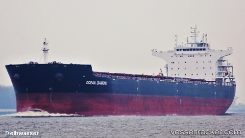
Vessel HONG G IMO: 9599573, MMSI: 636021767 Bulk Carrier
UTC, 60.10674, 28.60617, course: 301, speed: 35.5
UTC, 59.99292, 28.56668, course: 302, speed: 0.1
2026-02-11 15:10:56 UTC, 59.99304, 28.56664, course: 301, speed: 0.1
Live AIS position:
UTC. 13 nm N of VISTINO),
updated 2026-02-11 15:10:56 UTC.
Find the position of the vessel HONG G on the map. The latter are known coordinates and path.
marine traffic ship tracker show on live map
The current position of vessel HONG G is 59.99304 lat / 28.56664 lng. Updated: 2026-02-11 15:10:56 UTCCurrently sailing under the flag of Liberia
HONG G built in 2012 year
Deadweight:
93025 tDetails:
Last coordinates of the vessel:
UTC, 59.99274, 28.56651, course: 301, speed: 0UTC, 60.10674, 28.60617, course: 301, speed: 35.5
UTC, 59.99292, 28.56668, course: 302, speed: 0.1
2026-02-11 15:10:56 UTC, 59.99304, 28.56664, course: 301, speed: 0.1