 vesseltracker.com
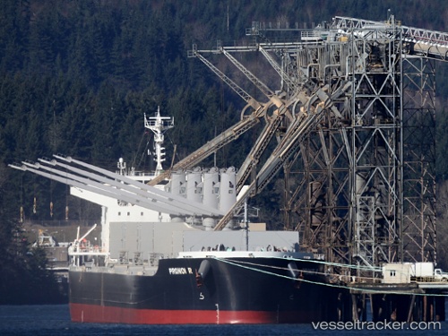
Vessel PRONOI R IMO: 9602746, MMSI: 538009682 Bulk Carrier
UTC, -44.39752, -48.86970, course: 110, speed: 10.7
UTC, -44.49333, -48.51833, course: -1, speed: 10
2026-02-25 01:57:50 UTC, -44.63833, -48.05333, course: -1, speed: 10
Live AIS position:
UTC. Open sea (no nearby ports in database)),
updated 2026-02-25 01:57:50 UTC.
Find the position of the vessel PRONOI R on the map. The latter are known coordinates and path.
marine traffic ship tracker show on live map
The current position of vessel PRONOI R is -44.63833 lat / -48.05333 lng. Updated: 2026-02-25 01:57:50 UTCCurrently sailing under the flag of Marshall Islands
Details:
Last coordinates of the vessel:
UTC, -44.22760, -49.40108, course: 112, speed: 10.4UTC, -44.39752, -48.86970, course: 110, speed: 10.7
UTC, -44.49333, -48.51833, course: -1, speed: 10
2026-02-25 01:57:50 UTC, -44.63833, -48.05333, course: -1, speed: 10