 vesseltracker.com
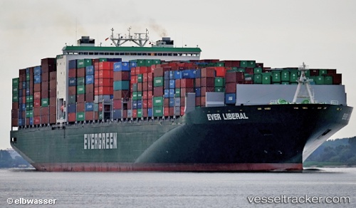
Vessel Ever Liberal IMO: 9604160, MMSI: 235102678 Container Ship
UTC, -5.43080, -160.18153, course: 289, speed: 14
UTC, -5.30077, -160.59117, course: 284, speed: 14.4
2026-02-12 07:52:34 UTC, -5.16963, -160.99422, course: 292, speed: 14.2
Live AIS position:
UTC. 291 nm NW of Penrhyn Island),
updated 2026-02-12 07:52:34 UTC.
Find the position of the vessel Ever Liberal on the map. The latter are known coordinates and path.
marine traffic ship tracker show on live map
The current position of vessel Ever Liberal is -5.16963 lat / -160.99422 lng. Updated: 2026-02-12 07:52:34 UTCCurrently sailing under the flag of United Kingdom
Details:
Last coordinates of the vessel:
UTC, -5.60140, -159.72417, course: 292, speed: 14UTC, -5.43080, -160.18153, course: 289, speed: 14
UTC, -5.30077, -160.59117, course: 284, speed: 14.4
2026-02-12 07:52:34 UTC, -5.16963, -160.99422, course: 292, speed: 14.2