 vesseltracker.com
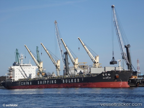
Vessel Bao Ning Ling IMO: 9604299, MMSI: 414778000 Bulk Carrier
UTC, 11.02374, 110.32597, course: 192, speed: 11.5
UTC, 10.73683, 110.27627, course: 191, speed: 11.6
2026-02-11 01:53:24 UTC, 10.28074, 110.19858, course: 186, speed: 11.7
Live AIS position:
UTC. 101 nm E of Ruby),
updated 2026-02-11 01:53:24 UTC.
Find the position of the vessel Bao Ning Ling on the map. The latter are known coordinates and path.
marine traffic ship tracker show on live map
The current position of vessel Bao Ning Ling is 10.28074 lat / 110.19858 lng. Updated: 2026-02-11 01:53:24 UTCCurrently sailing under the flag of China
Details:
Last coordinates of the vessel:
UTC, 11.53240, 110.35758, course: 195, speed: 10.8UTC, 11.02374, 110.32597, course: 192, speed: 11.5
UTC, 10.73683, 110.27627, course: 191, speed: 11.6
2026-02-11 01:53:24 UTC, 10.28074, 110.19858, course: 186, speed: 11.7