 vesseltracker.com
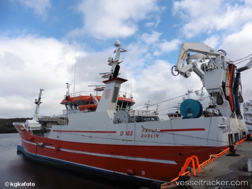
Vessel Paula IMO: 9605516, MMSI: 250002464 Fishing Vessel
UTC, 55.11333, -10.05166, course: -1, speed: 9
UTC, 55.20833, -9.96167, course: -1, speed: 4
2026-01-31 09:42:06 UTC, 55.21833, -9.94167, course: -1, speed: 4
Live AIS position:
UTC. 54 nm W of Burtonport),
updated 2026-01-31 09:42:06 UTC.
Find the position of the vessel Paula on the map. The latter are known coordinates and path.
marine traffic ship tracker show on live map
The current position of vessel Paula is 55.21833 lat / -9.94167 lng. Updated: 2026-01-31 09:42:06 UTCCurrently sailing under the flag of Ireland
Paula built in 2011 year
Deadweight:
1700 tDetails:
Last coordinates of the vessel:
UTC, 55.26833, -9.88667, course: -1, speed: 10UTC, 55.11333, -10.05166, course: -1, speed: 9
UTC, 55.20833, -9.96167, course: -1, speed: 4
2026-01-31 09:42:06 UTC, 55.21833, -9.94167, course: -1, speed: 4