 vesseltracker.com
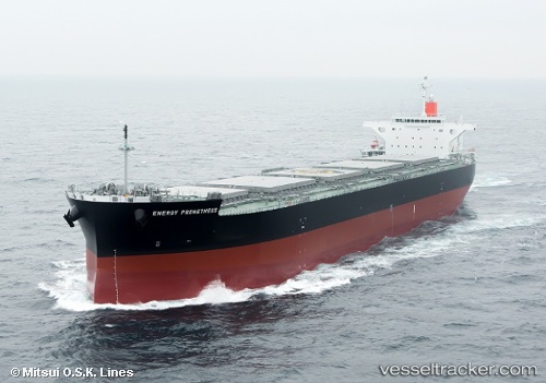
Vessel Energy Prometheus IMO: 9609495, MMSI: 354038000 Bulk Carrier
UTC, 38.27553, 137.72549, course: 148, speed: 0.6
UTC, 38.26013, 137.75224, course: 158, speed: 0.8
2026-02-15 05:38:21 UTC, 38.24441, 137.78442, course: 169, speed: 1.2
Live AIS position:
UTC. 32 nm W of Sado Shima Apt),
updated 2026-02-15 05:38:21 UTC.
Find the position of the vessel Energy Prometheus on the map. The latter are known coordinates and path.
marine traffic ship tracker show on live map
The current position of vessel Energy Prometheus is 38.24441 lat / 137.78442 lng. Updated: 2026-02-15 05:38:21 UTCDetails:
Last coordinates of the vessel:
UTC, 38.28383, 137.71416, course: 153, speed: 0.6UTC, 38.27553, 137.72549, course: 148, speed: 0.6
UTC, 38.26013, 137.75224, course: 158, speed: 0.8
2026-02-15 05:38:21 UTC, 38.24441, 137.78442, course: 169, speed: 1.2