 vesseltracker.com
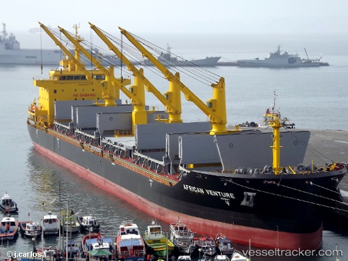
Vessel IRAKLIS IMO: 9612131, MMSI: 241984000 Bulk Carrier
UTC, 36.14701, -5.30076, course: 342, speed: 0.3
UTC, 36.14722, -5.30243, course: 17, speed: 0.5
2026-02-25 13:50:40 UTC, 36.14722, -5.30321, course: 55, speed: 0.1
Live AIS position:
UTC. Near Waterport),
updated 2026-02-25 13:50:40 UTC.
Find the position of the vessel IRAKLIS on the map. The latter are known coordinates and path.
marine traffic ship tracker show on live map
The current position of vessel IRAKLIS is 36.14722 lat / -5.30321 lng. Updated: 2026-02-25 13:50:40 UTCCurrently sailing under the flag of Greece
Details:
Last coordinates of the vessel:
UTC, 36.14663, -5.30180, course: -1, speed: 0.1UTC, 36.14701, -5.30076, course: 342, speed: 0.3
UTC, 36.14722, -5.30243, course: 17, speed: 0.5
2026-02-25 13:50:40 UTC, 36.14722, -5.30321, course: 55, speed: 0.1