 vesseltracker.com
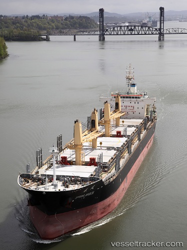
Vessel SUNNY HONG IMO: 9612351, MMSI: 352001846 Bulk Carrier
UTC, 30.25451, 122.25065, course: 6, speed: 0.1
UTC, 30.25436, 122.25056, course: 6, speed: 0.5
2026-02-25 12:24:15 UTC, 30.25442, 122.25055, course: 6, speed: 0.4
Live AIS position:
UTC. Near JINHAI HEAVY INDUSTR),
updated 2026-02-25 12:24:15 UTC.
Find the position of the vessel SUNNY HONG on the map. The latter are known coordinates and path.
marine traffic ship tracker show on live map
The current position of vessel SUNNY HONG is 30.25442 lat / 122.25055 lng. Updated: 2026-02-25 12:24:15 UTCCurrently sailing under the flag of Panama
Details:
Last coordinates of the vessel:
UTC, 30.25451, 122.25048, course: 6, speed: 0.1UTC, 30.25451, 122.25065, course: 6, speed: 0.1
UTC, 30.25436, 122.25056, course: 6, speed: 0.5
2026-02-25 12:24:15 UTC, 30.25442, 122.25055, course: 6, speed: 0.4