 vesseltracker.com
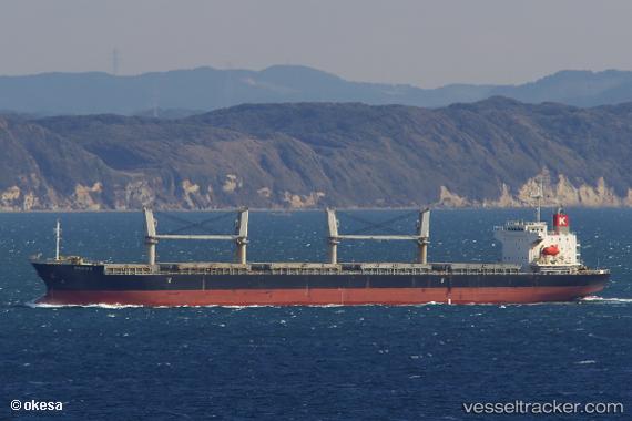
Vessel Felicia K IMO: 9614309, MMSI: 351606000 General Cargo Ship
UTC, 22.21920, 91.72676, course: 182, speed: 0
UTC, 22.21895, 91.72720, course: 199, speed: 0.1
2026-02-15 08:04:22 UTC, 22.21572, 91.72771, course: 335, speed: 0.1
Live AIS position:
UTC. Near Chittagong),
updated 2026-02-15 08:04:22 UTC.
Find the position of the vessel Felicia K on the map. The latter are known coordinates and path.
marine traffic ship tracker show on live map
The current position of vessel Felicia K is 22.21572 lat / 91.72771 lng. Updated: 2026-02-15 08:04:22 UTCCurrently sailing under the flag of Panama
Felicia K built in 2012 year
Deadweight:
32813 tDetails:
Last coordinates of the vessel:
UTC, 22.21898, 91.72674, course: 161, speed: 0UTC, 22.21920, 91.72676, course: 182, speed: 0
UTC, 22.21895, 91.72720, course: 199, speed: 0.1
2026-02-15 08:04:22 UTC, 22.21572, 91.72771, course: 335, speed: 0.1