 vesseltracker.com
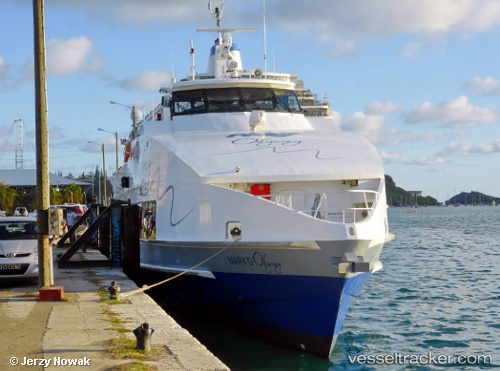
Vessel SWIFT IMO: 9618939, MMSI: 341927001 High speed craft
UTC, 24.42376, 52.74158, course: -1, speed: 0
UTC, 24.42376, 52.74158, course: -1, speed: 0
2026-02-28 22:11:21 UTC, 24.89450, 53.10030, course: 342, speed: 12.6
Live AIS position:
UTC. Near ZIRKU),
updated 2026-02-28 22:11:21 UTC.
Find the position of the vessel SWIFT on the map. The latter are known coordinates and path.
marine traffic ship tracker show on live map
The current position of vessel SWIFT is 24.89450 lat / 53.10030 lng. Updated: 2026-02-28 22:11:21 UTCCurrently sailing under the flag of Saint Kitts and Nevis
Details:
Last coordinates of the vessel:
UTC, 24.42376, 52.74158, course: -1, speed: 0UTC, 24.42376, 52.74158, course: -1, speed: 0
UTC, 24.42376, 52.74158, course: -1, speed: 0
2026-02-28 22:11:21 UTC, 24.89450, 53.10030, course: 342, speed: 12.6