 vesseltracker.com
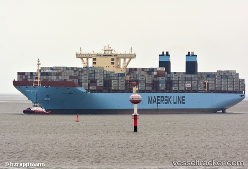
Vessel MARY MAERSK IMO: 9619921, MMSI: 219018692 Container Ship
UTC, -32.87977, 30.25198, course: 249, speed: 20
UTC, -33.06593, 29.73260, course: 248, speed: 19.9
2026-03-12 22:07:44 UTC, -33.41557, 28.75367, course: 250, speed: 21.1
Live Vessel MARY MAERSK Analytics (details, animations, etc.)
Live AIS position: UTC. 47 nm SE of Gonubie), updated 2026-03-12 22:07:44 UTC.Find the position of the vessel MARY MAERSK on the map. The latter are known coordinates and path.
marine traffic ship tracker show on live map
The current position of vessel MARY MAERSK is -33.41557 lat / 28.75367 lng. Updated: 2026-03-12 22:07:44 UTCCurrently sailing under the flag of Denmark
MARY MAERSK built in 2013 year
Deadweight:
213970 tDetails:
Last coordinates of the vessel:
UTC, -32.55288, 31.16158, course: 247, speed: 19.9UTC, -32.87977, 30.25198, course: 249, speed: 20
UTC, -33.06593, 29.73260, course: 248, speed: 19.9
2026-03-12 22:07:44 UTC, -33.41557, 28.75367, course: 250, speed: 21.1