 vesseltracker.com
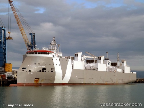
Vessel GALLOWAY EXPRESS IMO: 9621194, MMSI: 255915561 Livestock Carrier
UTC, 37.14491, 3.82233, course: 83, speed: 15.1
UTC, 37.21648, 4.54503, course: 84, speed: 15.1
2026-02-27 17:30:52 UTC, 37.26398, 4.91500, course: -1, speed: 14.6
Live AIS position:
UTC. 18 nm S of Santaella),
updated 2026-02-27 17:30:52 UTC.
Find the position of the vessel GALLOWAY EXPRESS on the map. The latter are known coordinates and path.
marine traffic ship tracker show on live map
The current position of vessel GALLOWAY EXPRESS is 37.26398 lat / 4.91500 lng. Updated: 2026-02-27 17:30:52 UTCCurrently sailing under the flag of Portugal
Details:
Last coordinates of the vessel:
UTC, 37.11348, 3.35890, course: 82, speed: 14.4UTC, 37.14491, 3.82233, course: 83, speed: 15.1
UTC, 37.21648, 4.54503, course: 84, speed: 15.1
2026-02-27 17:30:52 UTC, 37.26398, 4.91500, course: -1, speed: 14.6