 vesseltracker.com
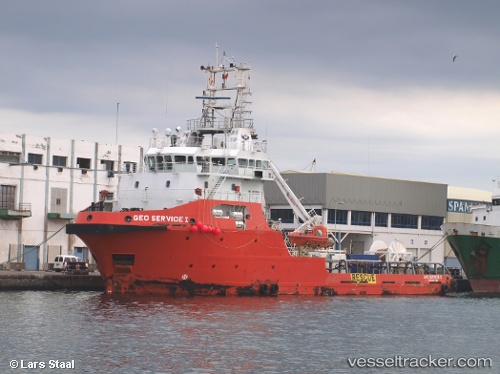
Vessel BOREAS G IMO: 9621546, MMSI: 352004192 Offshore Supply Ship
UTC, -33.92500, -49.93833, course: -1, speed: 4
UTC, -33.92500, -50.01333, course: -1, speed: 4
2026-02-26 05:59:50 UTC, -33.93167, -50.16500, course: -1, speed: 4
Live AIS position:
UTC. 148 nm SE of Rio Grande),
updated 2026-02-26 05:59:50 UTC.
Find the position of the vessel BOREAS G on the map. The latter are known coordinates and path.
marine traffic ship tracker show on live map
The current position of vessel BOREAS G is -33.93167 lat / -50.16500 lng. Updated: 2026-02-26 05:59:50 UTCCurrently sailing under the flag of Panama
Details:
Last coordinates of the vessel:
UTC, -33.92667, -49.75500, course: -1, speed: 4UTC, -33.92500, -49.93833, course: -1, speed: 4
UTC, -33.92500, -50.01333, course: -1, speed: 4
2026-02-26 05:59:50 UTC, -33.93167, -50.16500, course: -1, speed: 4