 vesseltracker.com
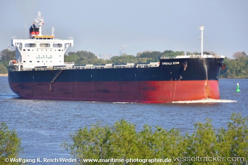
Vessel EOLOS G IMO: 9623738, MMSI: 538009453 Bulk Carrier
UTC, 35.23944, 124.44273, course: -1, speed: 13
UTC, 34.88027, 124.62965, course: -1, speed: 12.6
2026-02-25 08:19:41 UTC, 34.37500, 124.89500, course: -1, speed: 12
Live AIS position:
UTC. 21 nm NW of Gageohyangri),
updated 2026-02-25 08:19:41 UTC.
Find the position of the vessel EOLOS G on the map. The latter are known coordinates and path.
marine traffic ship tracker show on live map
The current position of vessel EOLOS G is 34.37500 lat / 124.89500 lng. Updated: 2026-02-25 08:19:41 UTCCurrently sailing under the flag of Marshall Islands
EOLOS G built in 2014 year
Deadweight:
81817 tDetails:
Last coordinates of the vessel:
UTC, 35.69500, 124.19833, course: -1, speed: 12UTC, 35.23944, 124.44273, course: -1, speed: 13
UTC, 34.88027, 124.62965, course: -1, speed: 12.6
2026-02-25 08:19:41 UTC, 34.37500, 124.89500, course: -1, speed: 12