 vesseltracker.com
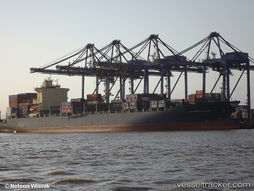
Vessel Hyundai Paramount IMO: 9625542, MMSI: 636015950 Container Ship
UTC, 5.61775, 137.30598, course: 135, speed: 17.5
UTC, 5.25434, 137.62134, course: 133, speed: 17.8
2026-03-01 11:45:56 UTC, 4.69864, 138.12843, course: 137, speed: 17.5
Live AIS position:
UTC. 246 nm SW of Sorol Atoll),
updated 2026-03-01 11:45:56 UTC.
Find the position of the vessel Hyundai Paramount on the map. The latter are known coordinates and path.
marine traffic ship tracker show on live map
The current position of vessel Hyundai Paramount is 4.69864 lat / 138.12843 lng. Updated: 2026-03-01 11:45:56 UTCDetails:
Last coordinates of the vessel:
UTC, 6.08474, 136.91005, course: 136, speed: 17.7UTC, 5.61775, 137.30598, course: 135, speed: 17.5
UTC, 5.25434, 137.62134, course: 133, speed: 17.8
2026-03-01 11:45:56 UTC, 4.69864, 138.12843, course: 137, speed: 17.5