 vesseltracker.com
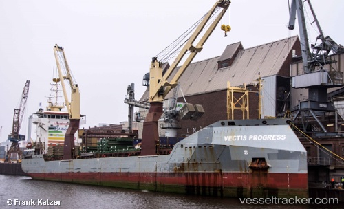
Vessel Vectis Progress IMO: 9626144, MMSI: 235094626 Multi Purpose Carrier
UTC, 46.33728, -72.54120, course: 26, speed: 0
UTC, 46.33726, -72.54117, course: 26, speed: 0
2026-02-13 09:32:05 UTC, 46.33729, -72.54114, course: 26, speed: 0
Live AIS position:
UTC. Near Cap-de-la-Madeleine),
updated 2026-02-13 09:32:05 UTC.
Find the position of the vessel Vectis Progress on the map. The latter are known coordinates and path.
marine traffic ship tracker show on live map
The current position of vessel Vectis Progress is 46.33729 lat / -72.54114 lng. Updated: 2026-02-13 09:32:05 UTCDetails:
Last coordinates of the vessel:
UTC, 46.33726, -72.54118, course: 26, speed: 0UTC, 46.33728, -72.54120, course: 26, speed: 0
UTC, 46.33726, -72.54117, course: 26, speed: 0
2026-02-13 09:32:05 UTC, 46.33729, -72.54114, course: 26, speed: 0