 vesseltracker.com
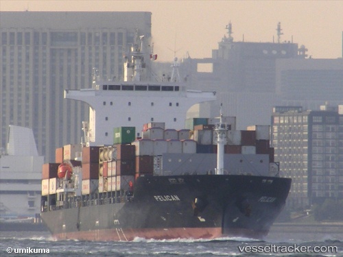
Vessel Pelican IMO: 9626560, MMSI: 636015481 Container Ship
UTC, 1.26928, 103.76852, course: 121, speed: 0.1
UTC, 1.26948, 103.76834, course: 121, speed: 0
2026-01-31 19:45:55 UTC, 1.26942, 103.76845, course: 121, speed: 0
Live AIS position:
UTC. Near PASIR PANJANG Terminal),
updated 2026-01-31 19:45:55 UTC.
Find the position of the vessel Pelican on the map. The latter are known coordinates and path.
marine traffic ship tracker show on live map
The current position of vessel Pelican is 1.26942 lat / 103.76845 lng. Updated: 2026-01-31 19:45:55 UTCCurrently sailing under the flag of Liberia
Pelican built in 2013 year
Deadweight:
22071 tDetails:
Last coordinates of the vessel:
UTC, 1.26924, 103.76851, course: 121, speed: 0UTC, 1.26928, 103.76852, course: 121, speed: 0.1
UTC, 1.26948, 103.76834, course: 121, speed: 0
2026-01-31 19:45:55 UTC, 1.26942, 103.76845, course: 121, speed: 0