 vesseltracker.com
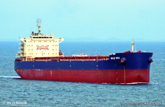
Vessel '636020447' IMO: 9628922, MMSI: 636020447
UTC, -13.84445, -31.15339, course: 18, speed: 11.6
UTC, -13.36306, -30.98256, course: 21, speed: 11.5
2026-02-04 01:21:06 UTC, -13.18126, -30.91147, course: 21, speed: 11.3
Live AIS position:
UTC. 352 nm SE of Barra de Santo Antonio),
updated 2026-02-04 01:21:06 UTC.
Find the position of the vessel '636020447' on the map. The latter are known coordinates and path.
marine traffic ship tracker show on live map
The current position of vessel '636020447' is -13.18126 lat / -30.91147 lng. Updated: 2026-02-04 01:21:06 UTCDetails:
Last coordinates of the vessel:
UTC, -14.13863, -31.25909, course: 19, speed: 11.2UTC, -13.84445, -31.15339, course: 18, speed: 11.6
UTC, -13.36306, -30.98256, course: 21, speed: 11.5
2026-02-04 01:21:06 UTC, -13.18126, -30.91147, course: 21, speed: 11.3