 vesseltracker.com
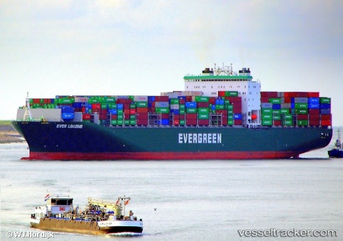
Vessel Ever Loading IMO: 9629081, MMSI: 235102681 Container Ship
UTC, 24.44573, 58.33964, course: 307, speed: 15.5
UTC, 24.72491, 57.96959, course: 313, speed: 15.6
2026-02-12 10:00:24 UTC, 25.19416, 57.38534, course: 312, speed: 16.3
Live AIS position:
UTC. 34 nm SW of JASK),
updated 2026-02-12 10:00:24 UTC.
Find the position of the vessel Ever Loading on the map. The latter are known coordinates and path.
marine traffic ship tracker show on live map
The current position of vessel Ever Loading is 25.19416 lat / 57.38534 lng. Updated: 2026-02-12 10:00:24 UTCCurrently sailing under the flag of United Kingdom
Details:
Last coordinates of the vessel:
UTC, 23.92566, 58.96169, course: -1, speed: 16UTC, 24.44573, 58.33964, course: 307, speed: 15.5
UTC, 24.72491, 57.96959, course: 313, speed: 15.6
2026-02-12 10:00:24 UTC, 25.19416, 57.38534, course: 312, speed: 16.3