 vesseltracker.com
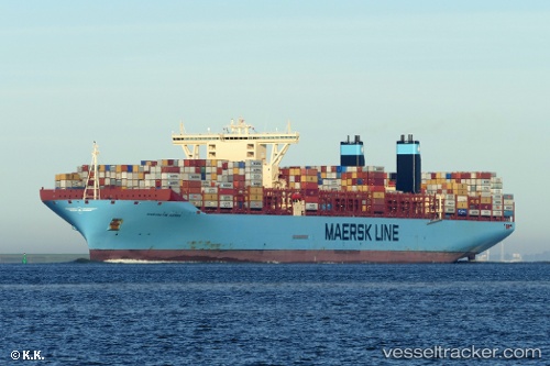
Vessel Margrethe Maersk IMO: 9632131, MMSI: 219629000 Container Ship
UTC, -7.37688, 75.79373, course: 221, speed: 19.2
UTC, -8.04843, 75.18350, course: 221, speed: 19.4
2026-03-03 01:38:33 UTC, -8.38457, 74.87920, course: 222, speed: 19.2
Live AIS position:
UTC. 157 nm SE of Diego Garcia),
updated 2026-03-03 01:38:33 UTC.
Find the position of the vessel Margrethe Maersk on the map. The latter are known coordinates and path.
marine traffic ship tracker show on live map
The current position of vessel Margrethe Maersk is -8.38457 lat / 74.87920 lng. Updated: 2026-03-03 01:38:33 UTCDetails:
Last coordinates of the vessel:
UTC, -7.00167, 76.14500, course: -1, speed: 19UTC, -7.37688, 75.79373, course: 221, speed: 19.2
UTC, -8.04843, 75.18350, course: 221, speed: 19.4
2026-03-03 01:38:33 UTC, -8.38457, 74.87920, course: 222, speed: 19.2