 vesseltracker.com
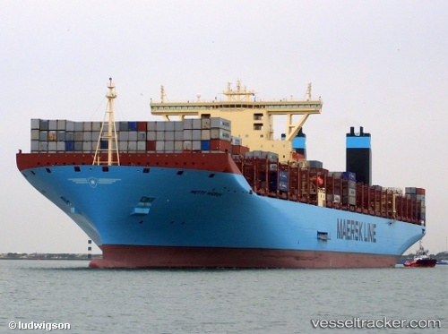
Vessel Mette Maersk IMO: 9632155, MMSI: 219631000 Container Ship
UTC, 49.66095, -3.31987, course: 60, speed: 7.9
UTC, 49.81177, -2.90202, course: 63, speed: 7.8
2026-03-12 21:23:43 UTC, 49.84907, -2.72562, course: 81, speed: 9.5
Live Vessel Mette Maersk Analytics (details, animations, etc.)
Live AIS position: UTC. 22 nm W of ALDERNEY), updated 2026-03-12 21:23:43 UTC.Find the position of the vessel Mette Maersk on the map. The latter are known coordinates and path.
marine traffic ship tracker show on live map
The current position of vessel Mette Maersk is 49.84907 lat / -2.72562 lng. Updated: 2026-03-12 21:23:43 UTCDetails:
Last coordinates of the vessel:
UTC, 49.52805, -3.67903, course: 62, speed: 12UTC, 49.66095, -3.31987, course: 60, speed: 7.9
UTC, 49.81177, -2.90202, course: 63, speed: 7.8
2026-03-12 21:23:43 UTC, 49.84907, -2.72562, course: 81, speed: 9.5